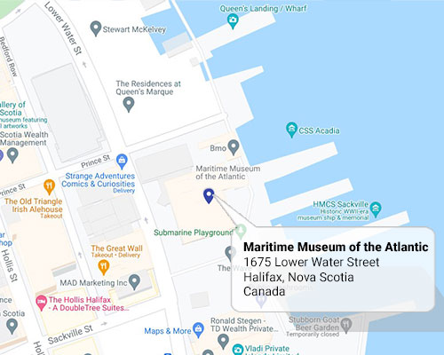
Google map - Maritime Museum of the Atlantic
Situated in the heart of Halifax’s historic Waterfront, the Maritime Museum of the Atlantic is located on Lower Water Street, at the base of Prince Street. The Museum is also accessible from the Halifax Harbourwalk, a 3-km boardwalk that spans the length of the city’s downtown core.
The Museum is wheelchair accessible, equipped with a passenger elevator, wheelchair accessible stalls in the public washrooms, and automatic doors at two of the main entrances, which were generously donated by the Company of Master Mariners and the Halifax Rotary Club. Wheelchairs are also available to visitors at the Museum’s front desk upon request (limited availability).
On-street parking
On-street parking has changed from individual meters to pay stations - this is a pay-by-plate, pay-by-zone system. You will now see the new pay stations installed on-street. There will still be a mixture of paid, permit and hourly parking in parking zones.
New parking technology will make it easier to pay and is introducing more payment options like credit card, debit card, and smart pay. Payment is attached to your vehicle, not the parking space. This means your vehicle can move freely within the parking zone up to the time purchase or maximum time allowed. Park Smart in Downtown Halifax
Google Maps Tour
Tour the museum in Google Street View! Experience and explore our galleries and exhibits online to sample our marine history and stories that we share as Canada’s oldest and largest Maritime museum. See the Google Maps Virtual Tour »
Latitude and Longitude
44° 38.858’N 063° 34.280’W